
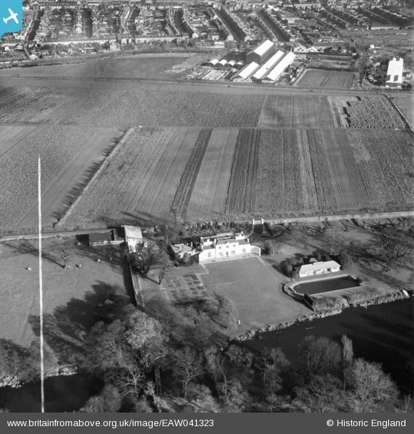
EAW041323 ENGLAND (1951). The Aviary, Norwood Green, 1951. This image was marked by Aerofilms Ltd for photo editing.
© Copyright OpenStreetMap contributors and licensed by the OpenStreetMap Foundation. 2024. Cartography is licensed as CC BY-SA.
Nearby Images (7)
EAW041323

EAW041321

EAW041319

EAW041317

EAW041322

EAW041320

EAW041318

Details
| Title | [EAW041323] The Aviary, Norwood Green, 1951. This image was marked by Aerofilms Ltd for photo editing. |
| Reference | EAW041323 |
| Date | 20-November-1951 |
| Link | |
| Place name | NORWOOD GREEN |
| Parish | |
| District | |
| Country | ENGLAND |
| Easting / Northing | 514929, 179058 |
| Longitude / Latitude | -0.34411826547899, 51.498279143892 |
| National Grid Reference | TQ149791 |
Pins
.Movie_Snapshot.jpg?itok=VwVvlJFy) |
 Leslie B |
Sunday 16th of August 2020 01:50:30 PM |
Leslie B |
Thursday 13th of August 2020 04:50:58 PM |


