
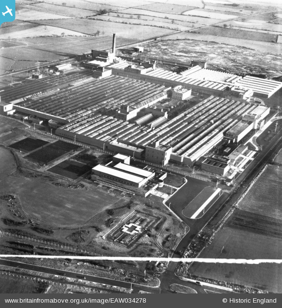
EAW034278 ENGLAND (1950). The Patons and Baldwins Worsted Spinning Mill, Darlington, 1950. This image has been produced from a print marked by Aerofilms Ltd for photo editing.
© Copyright OpenStreetMap contributors and licensed by the OpenStreetMap Foundation. 2024. Cartography is licensed as CC BY-SA.
Nearby Images (41)
EAW034278

EAW027450

EAW034276

EAW017431

EAW027437

EAW017438

EAW017435

EAW022806

EAW027448

EAW023497

EAW027457

EAW007634

EAW027438

EAW017430

EAW034273

EAW022815

EAW017432

EAW022802

EAW027440

EAW027441

EAW023503

EAW027442

EAW034272

EAW027451

EAW023504

EAW023501

EAW013822

EAW022817

EAW027444

EAW034280

EAW007629

EAW017433

EAW022810

EAW023500

EAW034281

EAW023498

EAW013814

EAW022808

EAW027447

EAW027443

EAW013823

Details
| Title | [EAW034278] The Patons and Baldwins Worsted Spinning Mill, Darlington, 1950. This image has been produced from a print marked by Aerofilms Ltd for photo editing. |
| Reference | EAW034278 |
| Date | 25-November-1950 |
| Link | |
| Place name | DARLINGTON |
| Parish | |
| District | |
| Country | ENGLAND |
| Easting / Northing | 431328, 514907 |
| Longitude / Latitude | -1.5158723283662, 54.528346696981 |
| National Grid Reference | NZ313149 |
Pins
Be the first to add a comment to this image!


