
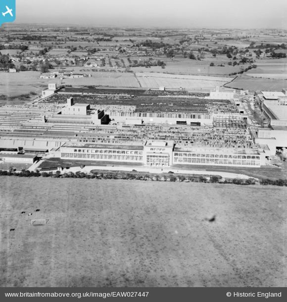
EAW027447 ENGLAND (1949). The Patons and Baldwins Worsted Spinning Mill, Darlington, from the south, 1949
© Copyright OpenStreetMap contributors and licensed by the OpenStreetMap Foundation. 2024. Cartography is licensed as CC BY-SA.
Nearby Images (33)
EAW027447

EAW022808

EAW022802

EAW022817

EAW017433

EAW017432

EAW034281

EAW017436

EAW017437

EAW034282

EAW022812

EAW022814

EAW022804

EAW027433

EAW023502

EAW022805

EAW027444

EAW027439

EAW022815

EAW017435

EAW034277

EAW017429

EAW027457

EAW007626

EAW027452

EAW017438

EAW027437

EAW022816

EAW034278

EAW027450

EAW022811

EAW034276

EAW034274

Details
| Title | [EAW027447] The Patons and Baldwins Worsted Spinning Mill, Darlington, from the south, 1949 |
| Reference | EAW027447 |
| Date | 27-October-1949 |
| Link | |
| Place name | DARLINGTON |
| Parish | |
| District | |
| Country | ENGLAND |
| Easting / Northing | 431529, 514711 |
| Longitude / Latitude | -1.512787271568, 54.526572656677 |
| National Grid Reference | NZ315147 |
Pins
Be the first to add a comment to this image!


