
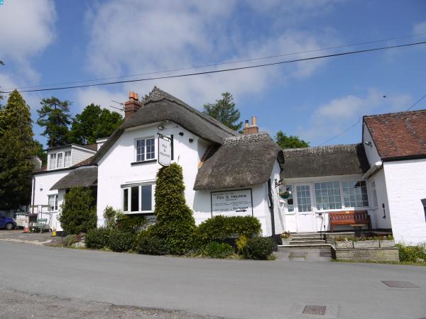
EAW032036 ENGLAND (1950). Knoyle Place and the village, East Knoyle, 1950. This image was marked by Aerofilms Ltd for photo editing.

© Copyright OpenStreetMap contributors and licensed by the OpenStreetMap Foundation. 2024. Cartography is licensed as CC BY-SA.
Nearby Images (8)
EAW032036

EAW031944

EAW031948

EAW031945

EAW031946

EAW031943

EAW031949

EAW031947

Details
| Title | [EAW032036] Knoyle Place and the village, East Knoyle, 1950. This image was marked by Aerofilms Ltd for photo editing. |
| Reference | EAW032036 |
| Date | 17-August-1950 |
| Link | |
| Place name | EAST KNOYLE |
| Parish | EAST KNOYLE |
| District | |
| Country | ENGLAND |
| Easting / Northing | 387839, 130473 |
| Longitude / Latitude | -2.1735976102153, 51.072922643846 |
| National Grid Reference | ST878305 |
Pins
User Comment Contributions
 Parish Church of St. Mary's, East Knoyle, 02/06/2016 |
 Class31 |
Thursday 9th of June 2016 08:18:49 AM |
 Old School, East Knoyle, 02/06/2016 |
Class31 |
Thursday 9th of June 2016 08:18:04 AM |
 Parish Church of St. Mary's, East Knoyle, 02/06/2016 |
Class31 |
Thursday 9th of June 2016 07:54:35 AM |
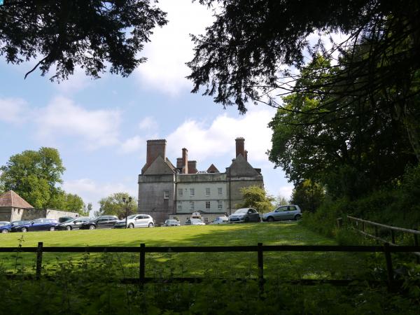
 Knoyle Place, East Knoyle, 02/06/2016 |
Class31 |
Thursday 9th of June 2016 07:52:00 AM |