
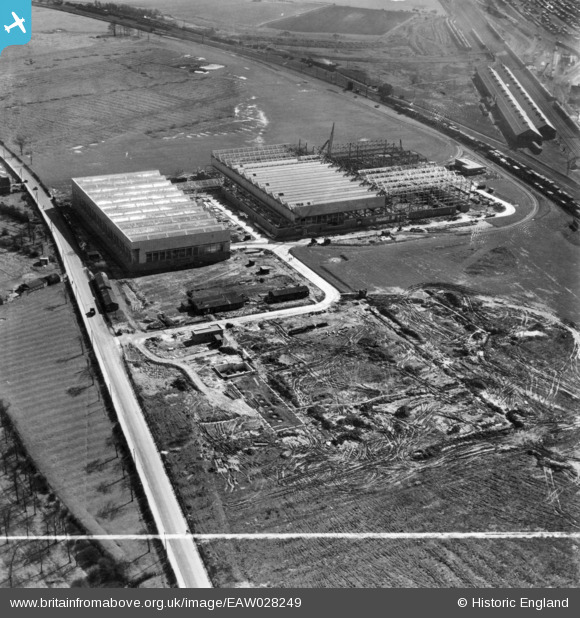
EAW028249 ENGLAND (1950). The British Rollmakers Corporation Works under construction alongside Weston Road, Crewe, 1950. This image has been produced from a print marked by Aerofilms Ltd for photo editing.
© Copyright OpenStreetMap contributors and licensed by the OpenStreetMap Foundation. 2024. Cartography is licensed as CC BY-SA.
Nearby Images (31)
EAW028249

EAW035066

EAW035063

EAW035067

EAW028246

EAW035064

EAW035072

EAW035073

EAW035075

EAW035074

EAW035061

EAW035069

EAW021632
, Crewe, 1949. This image has been produced from a damaged negative.")
EAW017284

EAW035062

EAW021630

EAW035065

EAW021631
 and the surrounding area, Crewe, 1949. This image has been produced from a damaged negative.")
EAW017283

EAW017285

EAW021633

EAW017289

EAW028248

EAW021634

EAW028247

EAW028250

EAW028252

EAW017290

EAW017286

EAW035071

EAW021625

Details
| Title | [EAW028249] The British Rollmakers Corporation Works under construction alongside Weston Road, Crewe, 1950. This image has been produced from a print marked by Aerofilms Ltd for photo editing. |
| Reference | EAW028249 |
| Date | 27-March-1950 |
| Link | |
| Place name | CREWE |
| Parish | |
| District | |
| Country | ENGLAND |
| Easting / Northing | 371466, 354322 |
| Longitude / Latitude | -2.426059979192, 53.085054365756 |
| National Grid Reference | SJ715543 |
Pins
Be the first to add a comment to this image!


