
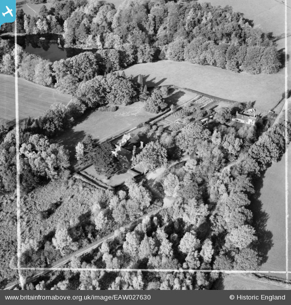
EAW027630 ENGLAND (1949). Lower Ashfold, Slaugham Common, 1949. This image was marked by Aerofilms Ltd for photo editing.
© Copyright OpenStreetMap contributors and licensed by the OpenStreetMap Foundation. 2024. Cartography is licensed as CC BY-SA.
Nearby Images (8)
EAW027630

EAW027632

EAW027631

EAW027629

EAW026835

EAW026836

EAW026834

EAW026832

Details
| Title | [EAW027630] Lower Ashfold, Slaugham Common, 1949. This image was marked by Aerofilms Ltd for photo editing. |
| Reference | EAW027630 |
| Date | 14-November-1949 |
| Link | |
| Place name | SLAUGHAM COMMON |
| Parish | SLAUGHAM |
| District | |
| Country | ENGLAND |
| Easting / Northing | 525068, 128349 |
| Longitude / Latitude | -0.21585450921912, 51.040330830349 |
| National Grid Reference | TQ251283 |
Pins
Be the first to add a comment to this image!


