
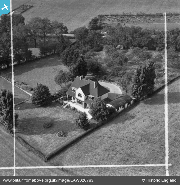
EAW026783 ENGLAND (1949). Stonebridge, Hoo St Werburgh, 1949. This image has been produced from a print marked by Aerofilms Ltd for photo editing.
© Copyright OpenStreetMap contributors and licensed by the OpenStreetMap Foundation. 2024. Cartography is licensed as CC BY-SA.
Nearby Images (5)
EAW026783

EAW026782

EAW026781

EAW026786

EAW026785

Details
| Title | [EAW026783] Stonebridge, Hoo St Werburgh, 1949. This image has been produced from a print marked by Aerofilms Ltd for photo editing. |
| Reference | EAW026783 |
| Date | 3-October-1949 |
| Link | |
| Place name | HOO ST WERBURGH |
| Parish | HOO ST. WERBURGH |
| District | |
| Country | ENGLAND |
| Easting / Northing | 576946, 172636 |
| Longitude / Latitude | 0.54541756899871, 51.424577305231 |
| National Grid Reference | TQ769726 |
Pins
 Flatcap |
Friday 20th of March 2020 11:28:28 AM |


