
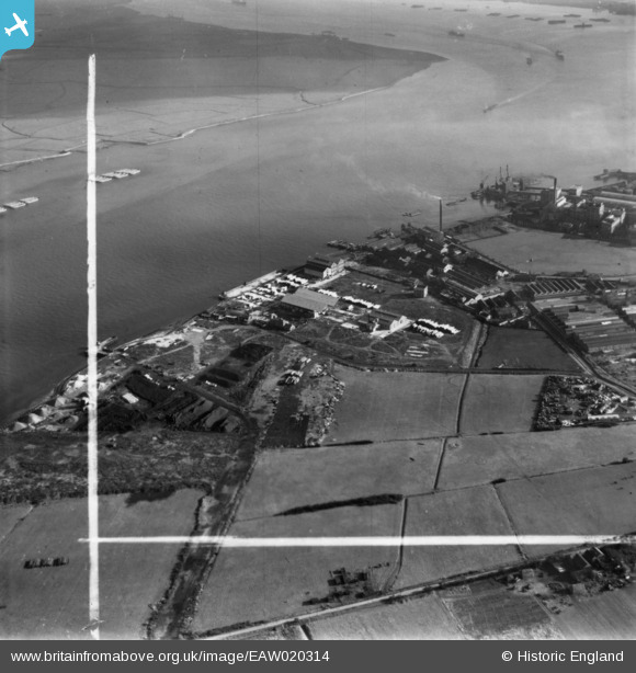
EAW020314 ENGLAND (1948). The W. R. Crow & Sons Ltd Timber Yard, the River Thames and environs, Jenningtree Point, 1948. This image has been produced from a print marked by Aerofilms Ltd for photo editing.
© Copyright OpenStreetMap contributors and licensed by the OpenStreetMap Foundation. 2024. Cartography is licensed as CC BY-SA.
Nearby Images (41)
EAW020314

EAW020315

EAW020313

EAW020316

EAW020311

EAW020317

EAW020309

EAW020310

EAW020312

EAW020308A

EAW020308

EAW020318

EPW037905

EAW020306

EAW020307

EAW037704

EAW037707

EAW037705

EPW037910

EPW037909

EPW037315

EPW060664

EAW037702

EPW037904

EAW048354

EPW037907

EPW060662

EPW037906

EPW060663

EAW037708

EAW014568

EAW014566

EPW037910A

EAW048357

EPW060658

EAW014573

EPW062290

EPW060712

EAW048345

EPW062292

EPW060652

Details
| Title | [EAW020314] The W. R. Crow & Sons Ltd Timber Yard, the River Thames and environs, Jenningtree Point, 1948. This image has been produced from a print marked by Aerofilms Ltd for photo editing. |
| Reference | EAW020314 |
| Date | 4-November-1948 |
| Link | |
| Place name | JENNINGTREE POINT |
| Parish | |
| District | |
| Country | ENGLAND |
| Easting / Northing | 550666, 179902 |
| Longitude / Latitude | 0.17078580820047, 51.497467655826 |
| National Grid Reference | TQ507799 |
Pins
Be the first to add a comment to this image!


