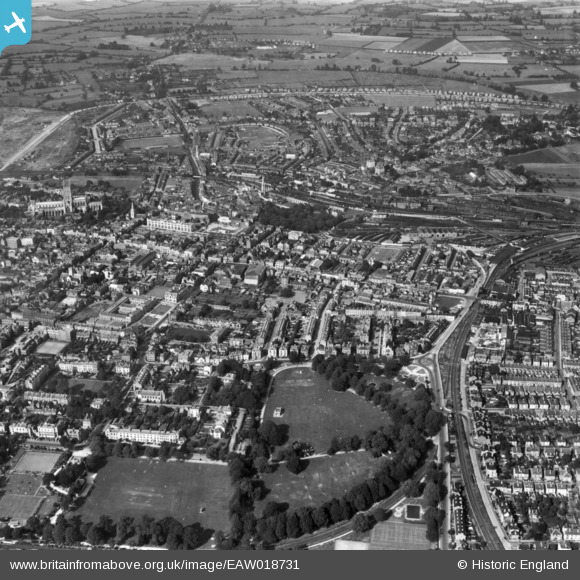
EAW018731 ENGLAND (1948). The Park and city, Gloucester, 1948. This image has been produced from a print.
© Copyright OpenStreetMap contributors and licensed by the OpenStreetMap Foundation. 2024. Cartography is licensed as CC BY-SA.
Nearby Images (4)
EAW018731

EPW006016

EPW024171

EPW041490

Details
| Title | [EAW018731] The Park and city, Gloucester, 1948. This image has been produced from a print. |
| Reference | EAW018731 |
| Date | 31-August-1948 |
| Link | |
| Place name | GLOUCESTER |
| Parish | |
| District | |
| Country | ENGLAND |
| Easting / Northing | 383401, 218300 |
| Longitude / Latitude | -2.2410757700776, 51.862593830165 |
| National Grid Reference | SO834183 |