
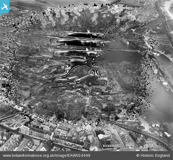
EAW014449 ENGLAND (1948). Blyth Harbour and environs, Blyth, 1948. This image has been produced from a damaged negative.
© Copyright OpenStreetMap contributors and licensed by the OpenStreetMap Foundation. 2024. Cartography is licensed as CC BY-SA.
Nearby Images (21)
EAW014449

EAW014450

EAW014447

EAW014454

EAW014453

EPW019747

EAW014452

EAW014446

EAW013075

EAW014455

EAW014445

EAW013063

EAW013074

EAW013064

EAW013073

EAW013065

EPW048842

EAW014457

EPW048840

EAW014456

EAW013068

Details
| Title | [EAW014449] Blyth Harbour and environs, Blyth, 1948. This image has been produced from a damaged negative. |
| Reference | EAW014449 |
| Date | 15-April-1948 |
| Link | |
| Place name | BLYTH |
| Parish | BLYTH |
| District | |
| Country | ENGLAND |
| Easting / Northing | 431475, 581839 |
| Longitude / Latitude | -1.5063156910726, 55.129865104918 |
| National Grid Reference | NZ315818 |
Pins
Be the first to add a comment to this image!


