
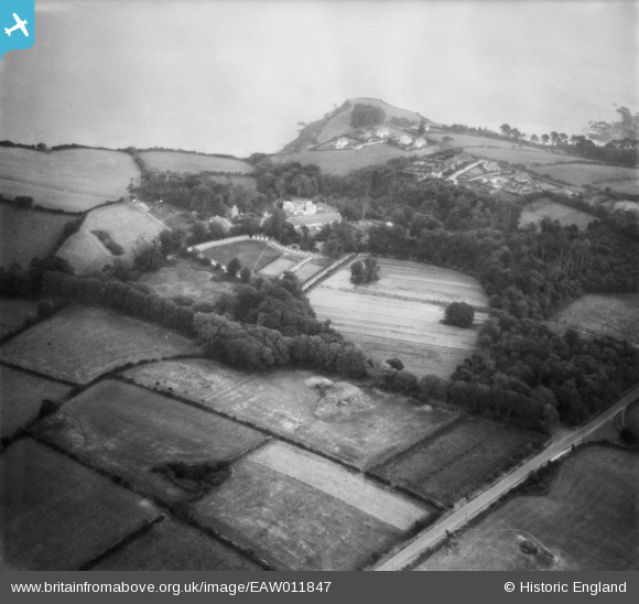
EAW011847 ENGLAND (1947). Duporth Holiday Resort, Duporth, 1947
© Copyright OpenStreetMap contributors and licensed by the OpenStreetMap Foundation. 2024. Cartography is licensed as CC BY-SA.
Nearby Images (20)
EAW011847

EAW011853

EAW011858

EAW011856

EAW011848

EAW005994

EAW011852

EAW005988

EAW005986

EAW011849

EAW011849
EAW005985

EAW011859

EAW011854

EAW011855

EAW011857

EAW005989

EAW005987

EAW005993

EAW005990

Details
| Title | [EAW011847] Duporth Holiday Resort, Duporth, 1947 |
| Reference | EAW011847 |
| Date | 7-October-1947 |
| Link | |
| Place name | DUPORTH |
| Parish | ST. AUSTELL BAY |
| District | |
| Country | ENGLAND |
| Easting / Northing | 203090, 51369 |
| Longitude / Latitude | -4.7669354498793, 50.328684681013 |
| National Grid Reference | SX031514 |
Pins
Be the first to add a comment to this image!


