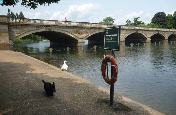
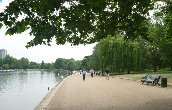
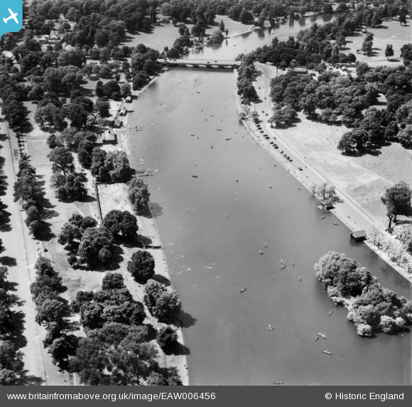
EAW006456 ENGLAND (1947). The Serpentine, Hyde Park, 1947
© Copyright OpenStreetMap contributors and licensed by the OpenStreetMap Foundation. 2024. Cartography is licensed as CC BY-SA.
Nearby Images (9)
EAW006456

EAW006459

EAW006458

EAW021736

EPW052917
, Westminster, 1937")
EPW061239

EAW006457

EAW021738

EPW020958

Details
| Title | [EAW006456] The Serpentine, Hyde Park, 1947 |
| Reference | EAW006456 |
| Date | 2-June-1947 |
| Link | |
| Place name | HYDE PARK |
| Parish | |
| District | |
| Country | ENGLAND |
| Easting / Northing | 527215, 180053 |
| Longitude / Latitude | -0.16683705358734, 51.504590260255 |
| National Grid Reference | TQ272801 |
Pins
 Alan McFaden |
Thursday 7th of November 2013 04:13:47 PM | |
Alan McFaden |
Thursday 7th of November 2013 04:12:52 PM | |
Alan McFaden |
Thursday 7th of November 2013 04:12:21 PM |