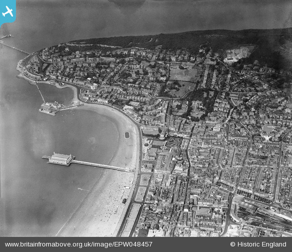
EPW048457 ENGLAND (1935). The Grand Pier and the town, Weston-Super-Mare, from the south, 1935
© Hawlfraint cyfranwyr OpenStreetMap a thrwyddedwyd gan yr OpenStreetMap Foundation. 2024. Trwyddedir y gartograffeg fel CC BY-SA.
Delweddau cyfagos (19)
EPW048457

EPW023960

EPW023970

EPW048456

EPW039932

EAW015057

EPW039936

EPW051716

EAW025155

EPW048443

EAW015056

EPW001039

EAW056067

EPW023969

EPW051708

EPW039934

EPW001038

EAW016133

EAW015058

Manylion
| Pennawd | [EPW048457] The Grand Pier and the town, Weston-Super-Mare, from the south, 1935 |
| Cyfeirnod | EPW048457 |
| Dyddiad | July-1935 |
| Dolen | |
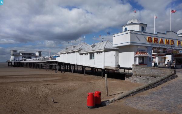
| Enw lle | WESTON-SUPER-MARE |
| Plwyf | WESTON-SUPER-MARE |
| Ardal | |
| Gwlad | ENGLAND |
| Dwyreiniad / Gogleddiad | 331788, 161387 |
| Hydred / Lledred | -2.9795291883552, 51.346964575988 |
| Cyfeirnod Grid Cenedlaethol | ST318614 |
Pinnau
 Alan McFaden |
Saturday 19th of October 2013 01:28:51 PM | |
Alan McFaden |
Saturday 19th of October 2013 12:59:29 PM | |
Alan McFaden |
Saturday 19th of October 2013 12:52:47 PM | |
Alan McFaden |
Saturday 19th of October 2013 12:50:05 PM | |
Alan McFaden |
Saturday 19th of October 2013 12:49:00 PM | |
Alan McFaden |
Saturday 19th of October 2013 12:48:10 PM |