
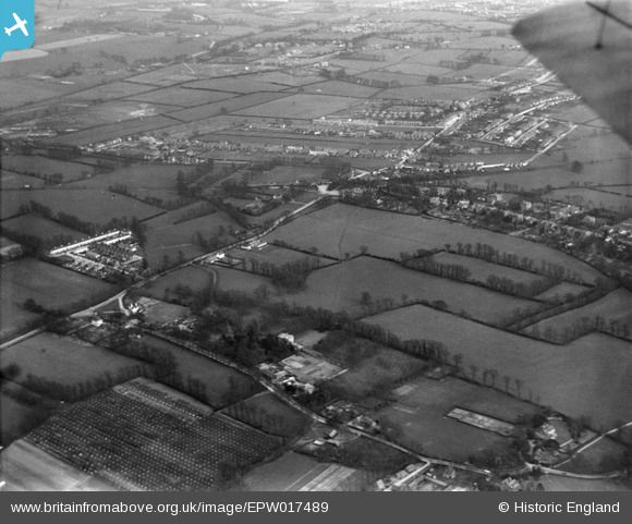
EPW017489 ENGLAND (1927). Fields between Malden and Worcester Park, Old Malden, from the north-west, 1927
© Hawlfraint cyfranwyr OpenStreetMap a thrwyddedwyd gan yr OpenStreetMap Foundation. 2024. Trwyddedir y gartograffeg fel CC BY-SA.
Delweddau cyfagos (4)
EPW017489

EPW017486

EPW017488

EPW017480

Manylion
| Pennawd | [EPW017489] Fields between Malden and Worcester Park, Old Malden, from the north-west, 1927 |
| Cyfeirnod | EPW017489 |
| Dyddiad | 23-March-1927 |
| Dolen | |
| Enw lle | OLD MALDEN |
| Plwyf | |
| Ardal | |
| Gwlad | ENGLAND |
| Dwyreiniad / Gogleddiad | 521572, 166263 |
| Hydred / Lledred | -0.25284832833538, 51.381882597629 |
| Cyfeirnod Grid Cenedlaethol | TQ216663 |


