
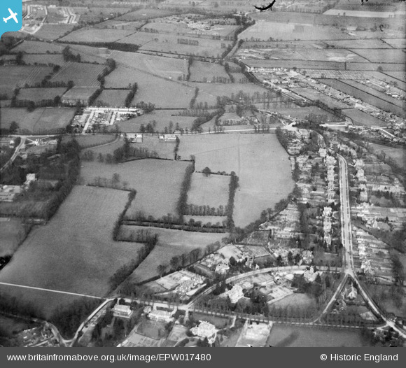
EPW017480 ENGLAND (1927). Fields between Malden and Worcester Park, Old Malden, 1927
© Hawlfraint cyfranwyr OpenStreetMap a thrwyddedwyd gan yr OpenStreetMap Foundation. 2024. Trwyddedir y gartograffeg fel CC BY-SA.
Delweddau cyfagos (5)
EPW017480

EPW017497

EPW017486

EPW017493

EPW017489

Manylion
| Pennawd | [EPW017480] Fields between Malden and Worcester Park, Old Malden, 1927 |
| Cyfeirnod | EPW017480 |
| Dyddiad | 23-March-1927 |
| Dolen | |
| Enw lle | OLD MALDEN |
| Plwyf | |
| Ardal | |
| Gwlad | ENGLAND |
| Dwyreiniad / Gogleddiad | 521758, 166096 |
| Hydred / Lledred | -0.25023385369065, 51.380341643951 |
| Cyfeirnod Grid Cenedlaethol | TQ218661 |
Pinnau
 mike |
Saturday 28th of June 2014 05:05:30 PM | |
mike |
Saturday 28th of June 2014 05:01:19 PM | |
mike |
Thursday 5th of June 2014 10:04:02 PM | |
Geoff Smith |
Thursday 20th of December 2012 11:49:04 AM | |
topsy |
Tuesday 27th of November 2012 09:56:26 PM | |
topsy |
Tuesday 27th of November 2012 09:55:09 PM | |
Andrew Stainer |
Sunday 7th of October 2012 07:10:42 PM | |
Andrew Stainer |
Sunday 7th of October 2012 07:09:29 PM | |
Andrew Stainer |
Sunday 7th of October 2012 07:09:00 PM | |
Andrew Stainer |
Sunday 7th of October 2012 07:08:32 PM | |
 John Ellingham |
Monday 9th of July 2012 09:26:29 PM | |
John Ellingham |
Monday 9th of July 2012 09:02:06 PM | |
John Ellingham |
Monday 9th of July 2012 08:50:42 PM | |
John Ellingham |
Monday 9th of July 2012 08:45:20 PM | |
Hubs |
Saturday 30th of June 2012 04:14:32 PM |


