
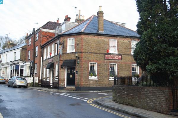
EPW016848 ENGLAND (1926). Farningham Service Station and environs, Farningham, 1926

© Hawlfraint cyfranwyr OpenStreetMap a thrwyddedwyd gan yr OpenStreetMap Foundation. 2024. Trwyddedir y gartograffeg fel CC BY-SA.
Delweddau cyfagos (15)
EPW016848

EPW016846

EPW016844

EPW016852

EPW016845

EPW016987
 and petrol station, Farningham, 1926")
EPW016849

EPW016983
 and petrol station, Farningham, 1926")
EPW016986
 and petrol station, Farningham, 1926")
EPW016847

EPW016984
 and petrol station, Farningham, 1926")
EPW016851

EPW016850

EPW016985

EPW016853

Manylion
| Pennawd | [EPW016848] Farningham Service Station and environs, Farningham, 1926 |
| Cyfeirnod | EPW016848 |
| Dyddiad | August-1926 |
| Dolen | |
| Enw lle | FARNINGHAM |
| Plwyf | FARNINGHAM |
| Ardal | |
| Gwlad | ENGLAND |
| Dwyreiniad / Gogleddiad | 554619, 167262 |
| Hydred / Lledred | 0.22217335584776, 51.38281944776 |
| Cyfeirnod Grid Cenedlaethol | TQ546673 |
Pinnau
 Gone2Kent |
Sunday 5th of January 2014 11:43:09 AM |
Cyfraniadau Grŵp
I am restoring my Austin Hertford and have just discovered that it was purchased by Farningham Service Station and sold to a Mr Penwarden in July 1937, hence my interest in this photograph. |
Tim |
Wednesday 21st of November 2012 02:32:49 PM |


