
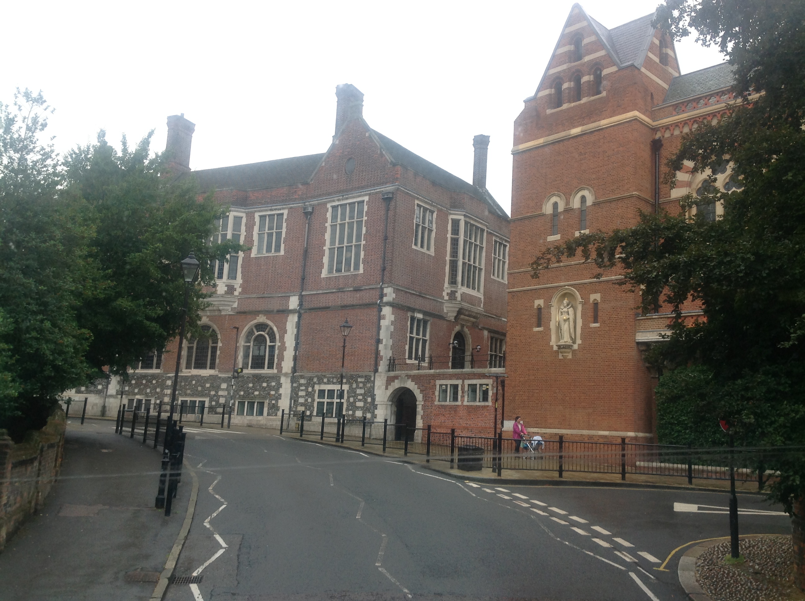
EPW006295 ENGLAND (1921). Harrow School, Harrow on the Hill, 1921

© Hawlfraint cyfranwyr OpenStreetMap a thrwyddedwyd gan yr OpenStreetMap Foundation. 2024. Trwyddedir y gartograffeg fel CC BY-SA.
Delweddau cyfagos (24)
EPW006295

EAW014885

EAW042772

EAW042767

EPW018764

EAW042770

EAW014888

EAW042771

EPW000463

EPW005357

EPW000462

EPW005356

EPW053680

EAW042769

EAW042768

EAW014887

EPW025547

EPW006290

EPW000466

EPW000467

EPW000461

EAW024232

EAW014886

EPW000469

Manylion
| Pennawd | [EPW006295] Harrow School, Harrow on the Hill, 1921 |
| Cyfeirnod | EPW006295 |
| Dyddiad | 23-May-1921 |
| Dolen | |
| Enw lle | HARROW ON THE HILL |
| Plwyf | |
| Ardal | |
| Gwlad | ENGLAND |
| Dwyreiniad / Gogleddiad | 515373, 187386 |
| Hydred / Lledred | -0.33499434908904, 51.573046223265 |
| Cyfeirnod Grid Cenedlaethol | TQ154874 |
Pinnau
 Sweet Pete |
Monday 16th of March 2015 03:21:48 PM | |
 Class31 |
Sunday 6th of April 2014 04:38:31 PM | |
Class31 |
Tuesday 10th of September 2013 03:16:17 PM |

Cyfraniadau Grŵp
There are details of the WW1 & WW2 memorials in the school at www.ukniwm.org.uk/server/show/conMemorial.11322/fromUkniwmSearch/1 and www.ukniwm.org.uk/server/show/conMemorial.11326/fromUkniwmSearch/1. Unfortunately there are no names of soldiers. |
 melgibbs |
Thursday 2nd of January 2014 07:04:30 PM |
 Junction of Peterborough Road and High Street on 09/09/2013. The building on the left in my photo is described on the 1935 1:2500 OS as War Memorial. |
Class31 |
Tuesday 10th of September 2013 03:15:19 PM |


