
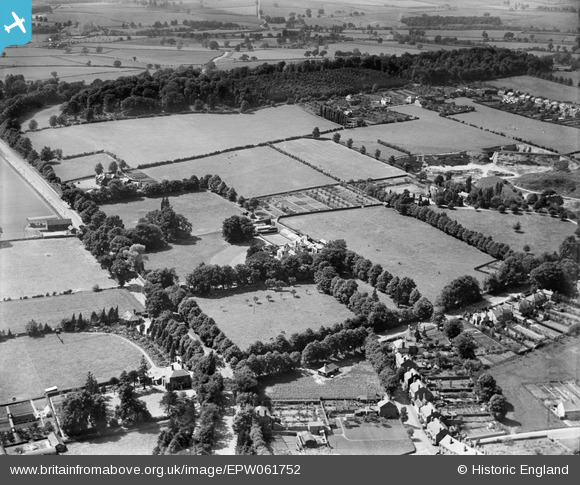
epw061752 ENGLAND (1939). Woodfield House and environs, Kingswinford, 1939
© Copyright OpenStreetMap contributors and licensed by the OpenStreetMap Foundation. 2025. Cartography is licensed as CC BY-SA.
Nearby Images (6)
EPW061752

EPW061754

EPW061750

EPW061751

EPW061753

EPW061755

Details
| Title | [EPW061752] Woodfield House and environs, Kingswinford, 1939 |
| Reference | EPW061752 |
| Date | 10-June-1939 |
| Link | |
| Place name | KINGSWINFORD |
| Parish | |
| District | |
| Country | ENGLAND |
| Easting / Northing | 388406, 287327 |
| Longitude / Latitude | -2.1707457775699, 52.483372214744 |
| National Grid Reference | SO884873 |
Pins
 Julie Smart |
Monday 18th of July 2022 12:12:08 PM | |
charlie |
Friday 11th of January 2019 08:14:55 PM | |
charlie |
Friday 11th of January 2019 08:14:08 PM | |
charlie |
Friday 11th of January 2019 08:04:09 PM |