
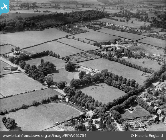
EPW061754 ENGLAND (1939). Woodfield House and environs, Kingswinford, 1939
© Copyright OpenStreetMap contributors and licensed by the OpenStreetMap Foundation. 2026. Cartography is licensed as CC BY-SA.
Nearby Images (6)
EPW061754

EPW061750

EPW061752

EPW061751

EPW061753

EPW061755

Details
| Title | [EPW061754] Woodfield House and environs, Kingswinford, 1939 |
| Reference | EPW061754 |
| Date | 10-June-1939 |
| Link | |
| Place name | KINGSWINFORD |
| Parish | |
| District | |
| Country | ENGLAND |
| Easting / Northing | 388429, 287323 |
| Longitude / Latitude | -2.170406917369, 52.48333673921 |
| National Grid Reference | SO884873 |
Pins

SirSmilerIV |
Sunday 28th of April 2024 12:25:01 PM |