
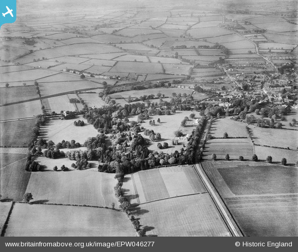
epw046277 ENGLAND (1934). The Vale of Catmose, Oakham, 1934
© Copyright OpenStreetMap contributors and licensed by the OpenStreetMap Foundation. 2025. Cartography is licensed as CC BY-SA.
Nearby Images (5)
EPW046277

EPW046273

EPW046276

EPW046278

EPW046279

Details
| Title | [EPW046277] The Vale of Catmose, Oakham, 1934 |
| Reference | EPW046277 |
| Date | October-1934 |
| Link | |
| Place name | OAKHAM |
| Parish | OAKHAM |
| District | |
| Country | ENGLAND |
| Easting / Northing | 486443, 308376 |
| Longitude / Latitude | -0.72162342648665, 52.665849689138 |
| National Grid Reference | SK864084 |
Pins
Be the first to add a comment to this image!