
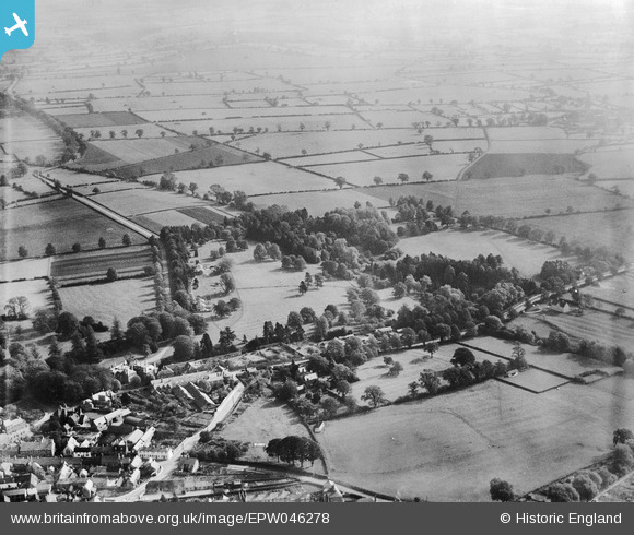
EPW046278 ENGLAND (1934). Uppingham Road and the Vale of Catmose, Oakham, 1934
© Copyright OpenStreetMap contributors and licensed by the OpenStreetMap Foundation. 2025. Cartography is licensed as CC BY-SA.
Nearby Images (6)
EPW046278

EPW046276

EPW046279

EPW046273

EPW046277

EPW046274

Details
| Title | [EPW046278] Uppingham Road and the Vale of Catmose, Oakham, 1934 |
| Reference | EPW046278 |
| Date | October-1934 |
| Link | |
| Place name | OAKHAM |
| Parish | OAKHAM |
| District | |
| Country | ENGLAND |
| Easting / Northing | 486664, 308337 |
| Longitude / Latitude | -0.71836627747915, 52.665463847163 |
| National Grid Reference | SK867083 |
Pins
Be the first to add a comment to this image!