
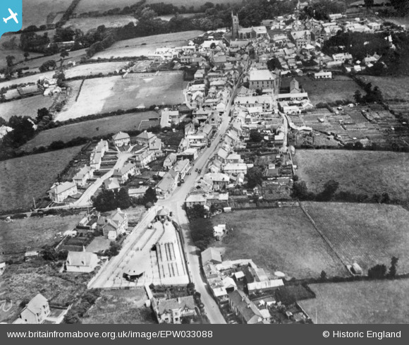
epw033088 ENGLAND (1930). Fair Street and the town, St Columb Major, 1930. This image has been produced from a copy-negative.
© Copyright OpenStreetMap contributors and licensed by the OpenStreetMap Foundation. 2025. Cartography is licensed as CC BY-SA.
Nearby Images (3)
EPW033088

EPW039778

EPW039777

Details
| Title | [EPW033088] Fair Street and the town, St Columb Major, 1930. This image has been produced from a copy-negative. |
| Reference | EPW033088 |
| Date | July-1930 |
| Link | |
| Place name | ST COLUMB MAJOR |
| Parish | ST. COLUMB MAJOR |
| District | |
| Country | ENGLAND |
| Easting / Northing | 191183, 63317 |
| Longitude / Latitude | -4.9406569289943, 50.43190721623 |
| National Grid Reference | SW912633 |
Pins
Be the first to add a comment to this image!