
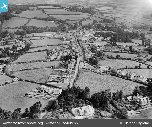
EPW039777 ENGLAND (1932). The town and surrounding countryside, St Columb Major, 1932
© Copyright OpenStreetMap contributors and licensed by the OpenStreetMap Foundation. 2025. Cartography is licensed as CC BY-SA.
Nearby Images (3)
EPW039777

EPW039778

EPW033088

Details
| Title | [EPW039777] The town and surrounding countryside, St Columb Major, 1932 |
| Reference | EPW039777 |
| Date | August-1932 |
| Link | |
| Place name | ST COLUMB MAJOR |
| Parish | ST. COLUMB MAJOR |
| District | |
| Country | ENGLAND |
| Easting / Northing | 191133, 63248 |
| Longitude / Latitude | -4.9413216328581, 50.431269651352 |
| National Grid Reference | SW911632 |
Pins
Be the first to add a comment to this image!