
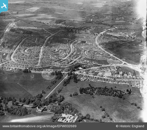
epw032689 ENGLAND (1930). New housing estates at Lupset, Wakefield, from the south-east, 1930
© Copyright OpenStreetMap contributors and licensed by the OpenStreetMap Foundation. 2026. Cartography is licensed as CC BY-SA.
Nearby Images (4)
EPW032689

EAW025167

EAW025168

EPW032687

Details
| Title | [EPW032689] New housing estates at Lupset, Wakefield, from the south-east, 1930 |
| Reference | EPW032689 |
| Date | June-1930 |
| Link | |
| Place name | WAKEFIELD |
| Parish | |
| District | |
| Country | ENGLAND |
| Easting / Northing | 431557, 419182 |
| Longitude / Latitude | -1.5223232658996, 53.667932815006 |
| National Grid Reference | SE316192 |
Pins
Be the first to add a comment to this image!