
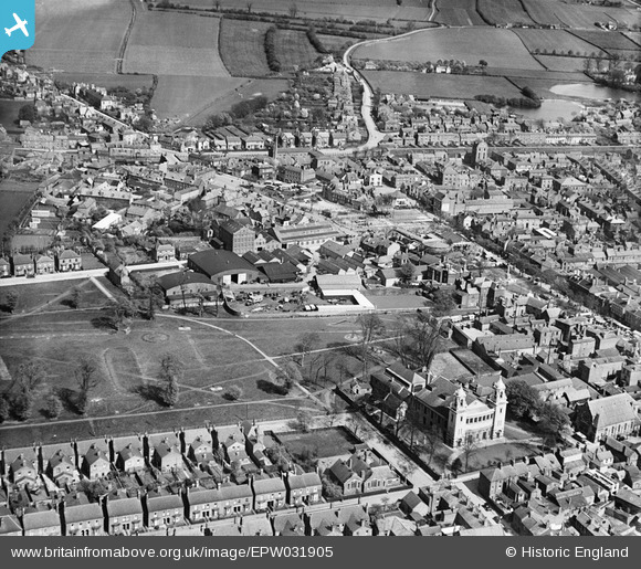
epw031905 ENGLAND (1930). Central Park and environs, Boston, 1930
© Copyright OpenStreetMap contributors and licensed by the OpenStreetMap Foundation. 2025. Cartography is licensed as CC BY-SA.
Nearby Images (2)
EPW031905

EPW031889

Details
| Title | [EPW031905] Central Park and environs, Boston, 1930 |
| Reference | EPW031905 |
| Date | May-1930 |
| Link | |
| Place name | BOSTON |
| Parish | |
| District | |
| Country | ENGLAND |
| Easting / Northing | 532913, 344474 |
| Longitude / Latitude | -0.020066058065898, 52.980794571128 |
| National Grid Reference | TF329445 |
