
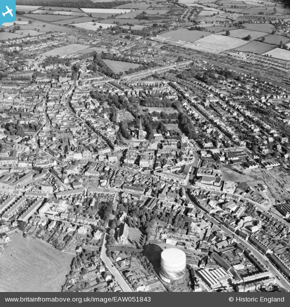
eaw051843 ENGLAND (1953). The town, Hinckley, 1953
© Copyright OpenStreetMap contributors and licensed by the OpenStreetMap Foundation. 2024. Cartography is licensed as CC BY-SA.
Nearby Images (2)
EAW051843

EAW051842

Details
| Title | [EAW051843] The town, Hinckley, 1953 |
| Reference | EAW051843 |
| Date | 1-September-1953 |
| Link | |
| Place name | HINCKLEY |
| Parish | |
| District | |
| Country | ENGLAND |
| Easting / Northing | 442650, 293819 |
| Longitude / Latitude | -1.3710763065688, 52.540194098819 |
| National Grid Reference | SP427938 |
Pins
Be the first to add a comment to this image!


