
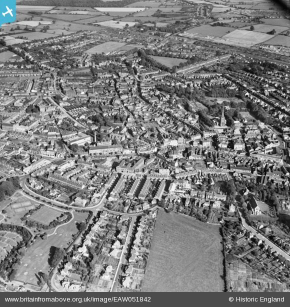
EAW051842 ENGLAND (1953). The town, Hinckley, 1953
© Copyright OpenStreetMap contributors and licensed by the OpenStreetMap Foundation. 2026. Cartography is licensed as CC BY-SA.
Nearby Images (9)
EAW051842

EPW044592

EPW044593

EPW044596

EPW044595

EPW044591

EPW044594

EAW051843

EAW051841

Details
| Title | [EAW051842] The town, Hinckley, 1953 |
| Reference | EAW051842 |
| Date | 1-September-1953 |
| Link | |
| Place name | HINCKLEY |
| Parish | |
| District | |
| Country | ENGLAND |
| Easting / Northing | 442591, 294021 |
| Longitude / Latitude | -1.371920354164, 52.542014773077 |
| National Grid Reference | SP426940 |
Pins

J May |
Thursday 7th of November 2024 04:55:34 PM | |
|
J May |
Thursday 7th of November 2024 04:52:58 PM | |
|
J May |
Thursday 7th of November 2024 04:51:41 PM | |
|
J May |
Thursday 7th of November 2024 04:33:06 PM | |
|
J May |
Thursday 7th of November 2024 04:31:42 PM | |
|
J May |
Thursday 7th of November 2024 04:22:39 PM | |
|
J May |
Thursday 7th of November 2024 04:21:55 PM | |
|
J May |
Thursday 7th of November 2024 04:21:17 PM | |
|
J May |
Thursday 7th of November 2024 04:20:44 PM |