
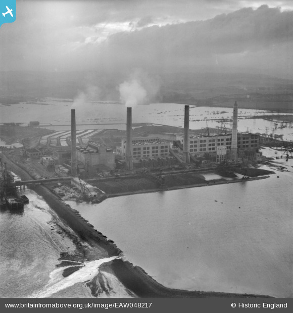
eaw048217 ENGLAND (1953). Littlebrook Power Station surrounded by flooding, Dartford, from the north-west, 1953
© Copyright OpenStreetMap contributors and licensed by the OpenStreetMap Foundation. 2025. Cartography is licensed as CC BY-SA.
Nearby Images (4)
EAW048217

EAW048221

EAW048222

EAW024370

Details
| Title | [EAW048217] Littlebrook Power Station surrounded by flooding, Dartford, from the north-west, 1953 |
| Reference | EAW048217 |
| Date | 2-February-1953 |
| Link | |
| Place name | DARTFORD |
| Parish | |
| District | |
| Country | ENGLAND |
| Easting / Northing | 555887, 176612 |
| Longitude / Latitude | 0.24449614277194, 51.466489151135 |
| National Grid Reference | TQ559766 |
Pins
Be the first to add a comment to this image!