
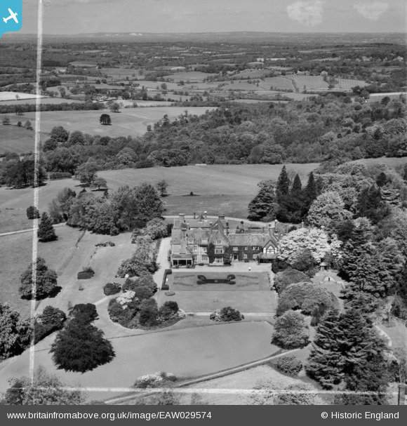
eaw029574 ENGLAND (1950). Plawhatch Hall and the surrounding countryside, Forest Row, from the south-east, 1950. This image was marked by Aerofilms Ltd for photo editing.
© Copyright OpenStreetMap contributors and licensed by the OpenStreetMap Foundation. 2026. Cartography is licensed as CC BY-SA.
Nearby Images (6)
EAW029574

EAW029573

EAW029577

EAW029575

EAW029576

EAW029578

Details
| Title | [EAW029574] Plawhatch Hall and the surrounding countryside, Forest Row, from the south-east, 1950. This image was marked by Aerofilms Ltd for photo editing. |
| Reference | EAW029574 |
| Date | 22-May-1950 |
| Link | |
| Place name | FOREST ROW |
| Parish | FOREST ROW |
| District | |
| Country | ENGLAND |
| Easting / Northing | 539583, 132622 |
| Longitude / Latitude | -0.0072706708921486, 51.075392117476 |
| National Grid Reference | TQ396326 |
Pins
Be the first to add a comment to this image!