
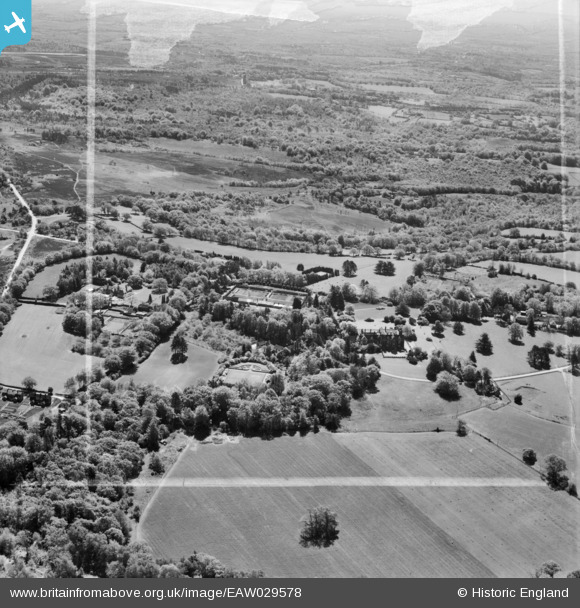
EAW029578 ENGLAND (1950). Plawhatch Hall and the surrounding countryside, Forest Row, from the north-west, 1950. This image was marked by Aerofilms Ltd for photo editing.
© Copyright OpenStreetMap contributors and licensed by the OpenStreetMap Foundation. 2026. Cartography is licensed as CC BY-SA.
Nearby Images (5)
EAW029578

EAW029575

EAW029577

EAW029573

EAW029574

Details
| Title | [EAW029578] Plawhatch Hall and the surrounding countryside, Forest Row, from the north-west, 1950. This image was marked by Aerofilms Ltd for photo editing. |
| Reference | EAW029578 |
| Date | 22-May-1950 |
| Link | |
| Place name | FOREST ROW |
| Parish | FOREST ROW |
| District | |
| Country | ENGLAND |
| Easting / Northing | 539574, 132830 |
| Longitude / Latitude | -0.0073187478629296, 51.077263751745 |
| National Grid Reference | TQ396328 |
Pins
Be the first to add a comment to this image!