
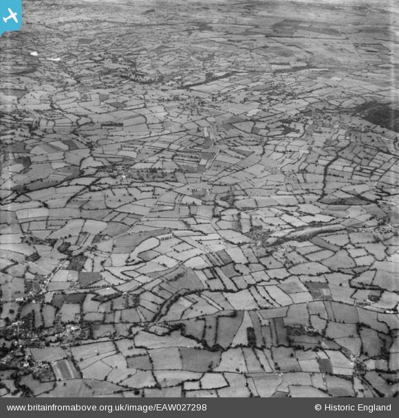
eaw027298 ENGLAND (1949). The site of Chew Valley Lake, Chew Stoke, from the north, 1949
© Copyright OpenStreetMap contributors and licensed by the OpenStreetMap Foundation. 2025. Cartography is licensed as CC BY-SA.
Nearby Images (2)
EAW027298

EAW027295

Details
| Title | [EAW027298] The site of Chew Valley Lake, Chew Stoke, from the north, 1949 |
| Reference | EAW027298 |
| Date | 19-October-1949 |
| Link | |
| Place name | CHEW STOKE |
| Parish | CHEW STOKE |
| District | |
| Country | ENGLAND |
| Easting / Northing | 355079, 160639 |
| Longitude / Latitude | -2.6450030021346, 51.342557395133 |
| National Grid Reference | ST551606 |
Pins
 Class31 |
Wednesday 19th of March 2014 12:07:46 PM | |
 |
Class31 |
Wednesday 19th of March 2014 11:54:40 AM |
Class31 |
Monday 17th of March 2014 12:10:14 PM | |
Class31 |
Monday 17th of March 2014 12:08:02 PM | |
Class31 |
Monday 17th of March 2014 12:00:24 PM | |
Class31 |
Monday 17th of March 2014 11:59:24 AM | |
Class31 |
Monday 17th of March 2014 11:57:59 AM | |
Class31 |
Monday 17th of March 2014 11:10:29 AM |

User Comment Contributions
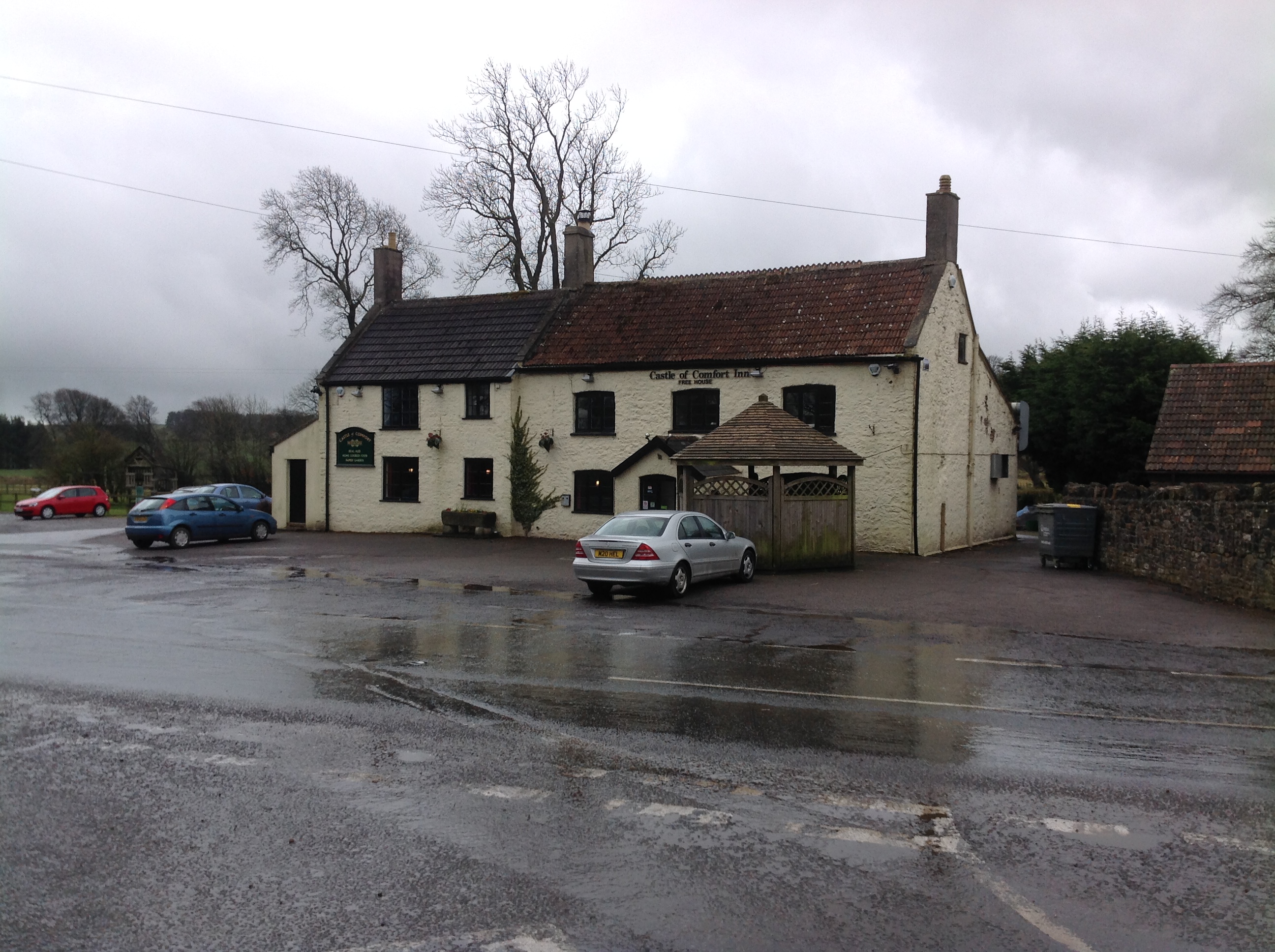 Castle of Comfort PH 18/3/2014 |
Class31 |
Wednesday 19th of March 2014 11:56:32 AM |