
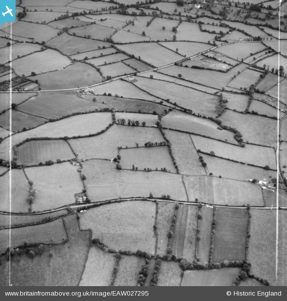
EAW027295 ENGLAND (1949). Stoke Hill, Breach Hill Lane near Valley View and surrounding countryside, Chew Stoke, 1949. This image was marked by Aerofilms Ltd for photo editing.
© Copyright OpenStreetMap contributors and licensed by the OpenStreetMap Foundation. 2025. Cartography is licensed as CC BY-SA.
Nearby Images (2)
EAW027295

EAW027298

Details
| Title | [EAW027295] Stoke Hill, Breach Hill Lane near Valley View and surrounding countryside, Chew Stoke, 1949. This image was marked by Aerofilms Ltd for photo editing. |
| Reference | EAW027295 |
| Date | 19-October-1949 |
| Link | |
| Place name | CHEW STOKE |
| Parish | CHEW STOKE |
| District | |
| Country | ENGLAND |
| Easting / Northing | 355307, 160441 |
| Longitude / Latitude | -2.6417045969945, 51.340794920539 |
| National Grid Reference | ST553604 |
