
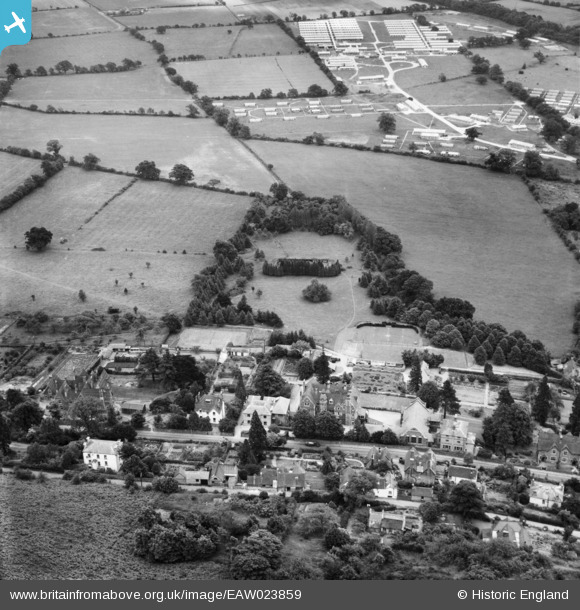
eaw023859 ENGLAND (1949). The Abbey on Wells Road and environs with St Wulstan's Hospital in the background, Malvern Wells, 1949
© Copyright OpenStreetMap contributors and licensed by the OpenStreetMap Foundation. 2025. Cartography is licensed as CC BY-SA.
Nearby Images (4)
EAW023859

EAW023858

EAW023857

EAW023860

Details
| Title | [EAW023859] The Abbey on Wells Road and environs with St Wulstan's Hospital in the background, Malvern Wells, 1949 |
| Reference | EAW023859 |
| Date | 15-June-1949 |
| Link | |
| Place name | MALVERN WELLS |
| Parish | MALVERN WELLS |
| District | |
| Country | ENGLAND |
| Easting / Northing | 377452, 241627 |
| Longitude / Latitude | -2.3290071274034, 52.072133132499 |
| National Grid Reference | SO775416 |
Pins
Be the first to add a comment to this image!