
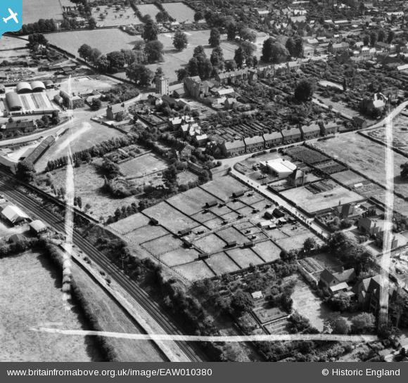
eaw010380 ENGLAND (1947). Poultry farming by Marley Mount and environs, Market Drayton, 1947. This image was marked by Aerofilms Ltd for photo editing.
© Copyright OpenStreetMap contributors and licensed by the OpenStreetMap Foundation. 2026. Cartography is licensed as CC BY-SA.
Nearby Images (8)
EAW010380

EAW010377

EAW010381

EAW010383

EAW010382

EAW010379

EAW010378

EAW010376

Details
| Title | [EAW010380] Poultry farming by Marley Mount and environs, Market Drayton, 1947. This image was marked by Aerofilms Ltd for photo editing. |
| Reference | EAW010380 |
| Date | 30-August-1947 |
| Link | |
| Place name | MARKET DRAYTON |
| Parish | MARKET DRAYTON |
| District | |
| Country | ENGLAND |
| Easting / Northing | 367092, 334520 |
| Longitude / Latitude | -2.4893519535935, 52.906784773326 |
| National Grid Reference | SJ671345 |
Pins

Benny boy |
Friday 21st of November 2014 12:00:00 AM | |
|
Benny boy |
Thursday 20th of November 2014 11:57:02 PM | |
|
Benny boy |
Wednesday 5th of November 2014 06:57:12 PM | |
|
Benny boy |
Wednesday 5th of November 2014 06:57:09 PM |