
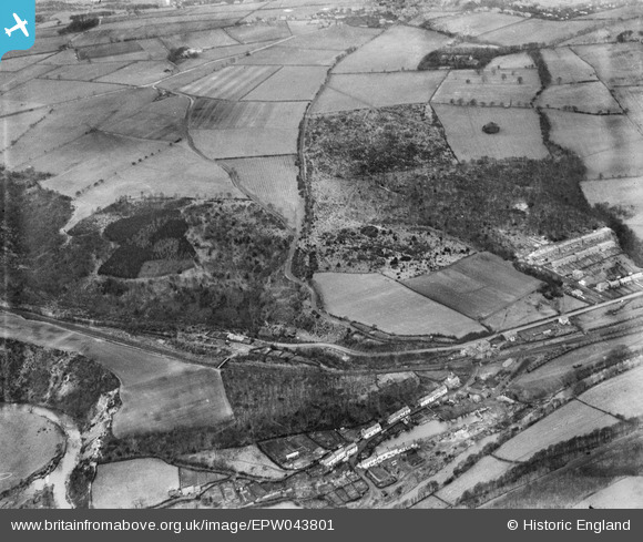
EPW043801 ENGLAND (1934). Thornley Wood, Lands Wood, Mill Lane and the Garesfield and Chopwell Railway, Winlaton Mill, 1934
© Copyright OpenStreetMap contributors and licensed by the OpenStreetMap Foundation. 2025. Cartography is licensed as CC BY-SA.
Nearby Images (4)
EPW043801

EPW043800

EPW043803

EPW043799

Details
| Title | [EPW043801] Thornley Wood, Lands Wood, Mill Lane and the Garesfield and Chopwell Railway, Winlaton Mill, 1934 |
| Reference | EPW043801 |
| Date | February-1934 |
| Link | |
| Place name | WINLATON MILL |
| Parish | |
| District | |
| Country | ENGLAND |
| Easting / Northing | 418259, 560879 |
| Longitude / Latitude | -1.714944691273, 54.942159828949 |
| National Grid Reference | NZ183609 |
Pins

Goosen2023 |
Saturday 18th of March 2023 03:29:16 PM | |
|
Goosen2023 |
Saturday 18th of March 2023 03:28:20 PM | |
|
Goosen2023 |
Saturday 18th of March 2023 03:27:24 PM | |
|
J May |
Thursday 4th of March 2021 02:25:27 PM | |
|
J May |
Thursday 4th of March 2021 02:24:54 PM | |
|
NiallHH |
Saturday 14th of July 2018 10:17:10 PM | |
|
totoro |
Tuesday 8th of March 2016 10:11:17 PM | |
|
totoro |
Tuesday 8th of March 2016 10:10:43 PM | |
|
totoro |
Tuesday 8th of March 2016 10:06:17 PM | |
|
totoro |
Tuesday 8th of March 2016 09:36:14 PM |