
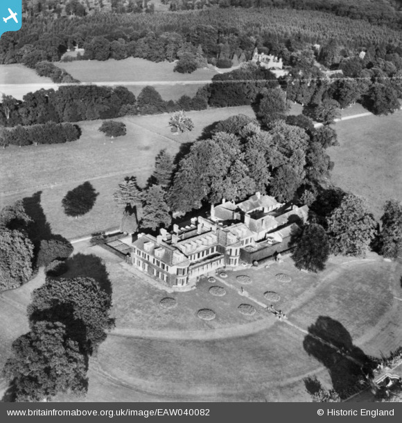
EAW040082 ENGLAND (1951). Fernhill Park, Cranbourne, 1951. This image has been produced from a copy-negative marked by Aerofilms Ltd for photo editing.
© Copyright OpenStreetMap contributors and licensed by the OpenStreetMap Foundation. 2026. Cartography is licensed as CC BY-SA.
Nearby Images (3)
EAW040082

EAW040084

EAW040080

Details
| Title | [EAW040082] Fernhill Park, Cranbourne, 1951. This image has been produced from a copy-negative marked by Aerofilms Ltd for photo editing. |
| Reference | EAW040082 |
| Date | 21-September-1951 |
| Link | |
| Place name | CRANBOURNE |
| Parish | WINKFIELD |
| District | |
| Country | ENGLAND |
| Easting / Northing | 493211, 172084 |
| Longitude / Latitude | -0.65876507987217, 51.439581905989 |
| National Grid Reference | SU932721 |
Pins

Bart |
Thursday 11th of May 2023 04:04:03 PM |