
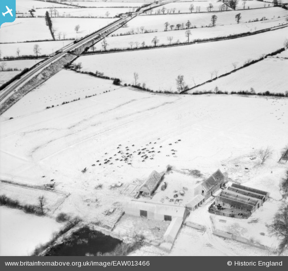
EAW013466 ENGLAND (1948). Clattercote Farm in the snow, Clattercote, 1948
© Copyright OpenStreetMap contributors and licensed by the OpenStreetMap Foundation. 2025. Cartography is licensed as CC BY-SA.
Nearby Images (2)
EAW013466

EAW013467

Details
| Title | [EAW013466] Clattercote Farm in the snow, Clattercote, 1948 |
| Reference | EAW013466 |
| Date | 20-February-1948 |
| Link | |
| Place name | CLATTERCOTE |
| Parish | CLAYDON WITH CLATTERCOT |
| District | |
| Country | ENGLAND |
| Easting / Northing | 445643, 249222 |
| Longitude / Latitude | -1.3330046326079, 52.138997325982 |
| National Grid Reference | SP456492 |
Pins
 TomRobin |
Monday 4th of November 2013 05:27:54 PM | |
TomRobin |
Monday 4th of November 2013 05:26:20 PM | |
TomRobin |
Monday 4th of November 2013 05:25:30 PM | |
TomRobin |
Monday 4th of November 2013 05:22:37 PM | |
TomRobin |
Monday 4th of November 2013 05:22:15 PM |
User Comment Contributions
This is Clattercote Priory Farm, just North of Banbury |
TomRobin |
Monday 6th of January 2014 03:58:18 PM |
Thanks for the location TomRobin! We'll update the catalogue and post the new data here in due course. Yours, Katy Britain from Above Cataloguing Team Leader |
Katy Whitaker |
Monday 6th of January 2014 03:58:18 PM |
EAW013468 is of Bourbon Tower, Stowe Park, 1948 taken on the same day. |
 Class31 |
Monday 4th of November 2013 02:20:08 PM |
EAW013465 is of Compton Verney, Combrook, 1948 near Stratford on Avon |
Class31 |
Monday 4th of November 2013 02:16:59 PM |