
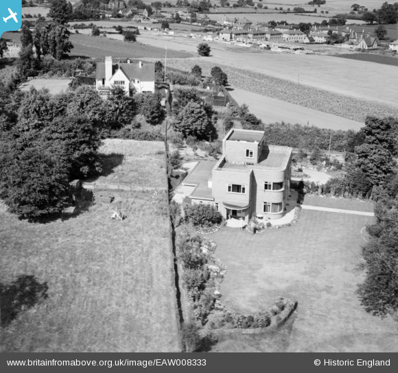
EAW008333 ENGLAND (1947). 42 St John's Hill, Shenstone, 1947
© Copyright OpenStreetMap contributors and licensed by the OpenStreetMap Foundation. 2025. Cartography is licensed as CC BY-SA.
Nearby Images (7)
EAW008333

EAW008336

EAW008335

EAW008331

EAW008334

EAW008332

EAW008337

Details
| Title | [EAW008333] 42 St John's Hill, Shenstone, 1947 |
| Reference | EAW008333 |
| Date | 20-July-1947 |
| Link | |
| Place name | SHENSTONE |
| Parish | SHENSTONE |
| District | |
| Country | ENGLAND |
| Easting / Northing | 410951, 304145 |
| Longitude / Latitude | -1.8381682489384, 52.634593643267 |
| National Grid Reference | SK110041 |
Pins
 David Hickie |
Thursday 9th of June 2022 02:24:43 PM | |
David Hickie |
Thursday 9th of June 2022 02:22:42 PM | |
David Hickie |
Thursday 9th of June 2022 02:21:41 PM | |
David Hickie |
Thursday 9th of June 2022 02:21:08 PM | |
David Hickie |
Thursday 9th of June 2022 02:20:43 PM |