
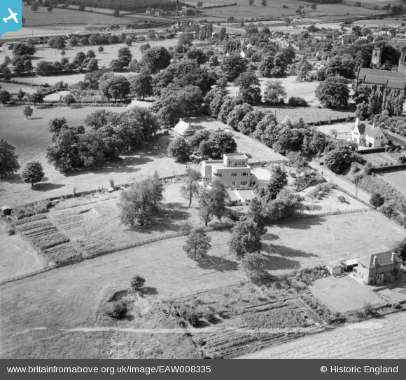
EAW008335 ENGLAND (1947). 42 St John's Hill, Shenstone, 1947. This image was marked by Aerofilms Ltd for photo editing.
© Copyright OpenStreetMap contributors and licensed by the OpenStreetMap Foundation. 2025. Cartography is licensed as CC BY-SA.
Nearby Images (7)
EAW008335

EAW008331

EAW008333

EAW008336

EAW008334

EAW008332

EAW008337

Details
| Title | [EAW008335] 42 St John's Hill, Shenstone, 1947. This image was marked by Aerofilms Ltd for photo editing. |
| Reference | EAW008335 |
| Date | 20-July-1947 |
| Link | |
| Place name | SHENSTONE |
| Parish | SHENSTONE |
| District | |
| Country | ENGLAND |
| Easting / Northing | 410953, 304141 |
| Longitude / Latitude | -1.8381388261754, 52.634557639952 |
| National Grid Reference | SK110041 |
Pins

David Hickie |
Thursday 9th of June 2022 02:29:51 PM | |
|
David Hickie |
Thursday 9th of June 2022 02:28:54 PM | |
|
David Hickie |
Thursday 9th of June 2022 02:26:05 PM | |
|
areed |
Friday 24th of April 2020 08:05:26 PM | |
|
areed |
Friday 24th of April 2020 08:05:07 PM | |
|
areed |
Friday 24th of April 2020 08:04:30 PM | |
|
areed |
Friday 24th of April 2020 08:04:06 PM | |
|
areed |
Friday 24th of April 2020 08:03:32 PM |