
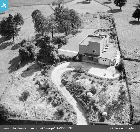
EAW008332 ENGLAND (1947). 42 St John's Hill, Shenstone, 1947
© Copyright OpenStreetMap contributors and licensed by the OpenStreetMap Foundation. 2025. Cartography is licensed as CC BY-SA.
Nearby Images (7)
EAW008332

EAW008334

EAW008337

EAW008331

EAW008335

EAW008333

EAW008336

Details
| Title | [EAW008332] 42 St John's Hill, Shenstone, 1947 |
| Reference | EAW008332 |
| Date | 20-July-1947 |
| Link | |
| Place name | SHENSTONE |
| Parish | SHENSTONE |
| District | |
| Country | ENGLAND |
| Easting / Northing | 410971, 304143 |
| Longitude / Latitude | -1.8378727605787, 52.634575257766 |
| National Grid Reference | SK110041 |
Pins
Be the first to add a comment to this image!