
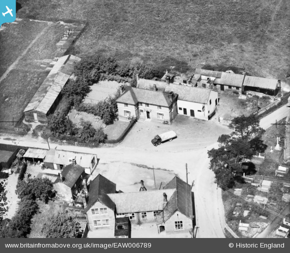
EAW006789 ENGLAND (1947). The Cross Keys Inn, Kinnerley, 1947
© Copyright OpenStreetMap contributors and licensed by the OpenStreetMap Foundation. 2025. Cartography is licensed as CC BY-SA.
Nearby Images (4)
EAW006789

EAW006787

EAW006790

EAW006788

Details
| Title | [EAW006789] The Cross Keys Inn, Kinnerley, 1947 |
| Reference | EAW006789 |
| Date | 28-May-1947 |
| Link | |
| Place name | KINNERLEY |
| Parish | KINNERLEY |
| District | |
| Country | ENGLAND |
| Easting / Northing | 333770, 320948 |
| Longitude / Latitude | -2.9820438720434, 52.781710351083 |
| National Grid Reference | SJ338209 |
Pins
Be the first to add a comment to this image!