
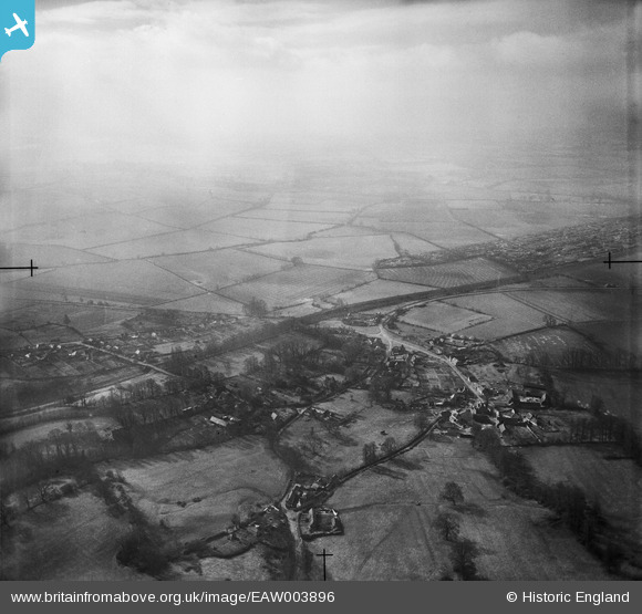
EAW003896 ENGLAND (1947). The village and environs, Horspath, from the north, 1947
© Copyright OpenStreetMap contributors and licensed by the OpenStreetMap Foundation. 2026. Cartography is licensed as CC BY-SA.
Details
| Title | [EAW003896] The village and environs, Horspath, from the north, 1947 |
| Reference | EAW003896 |
| Date | 20-March-1947 |
| Link | |
| Place name | HORSPATH |
| Parish | HORSPATH |
| District | |
| Country | ENGLAND |
| Easting / Northing | 457233, 205028 |
| Longitude / Latitude | -1.171010586926, 51.740574894886 |
| National Grid Reference | SP572050 |
Pins

Nowy Paul |
Saturday 15th of November 2014 03:46:43 PM |