
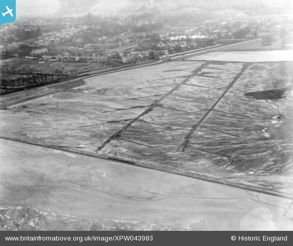
XPW043983 NORTHERN IRELAND (1934). Municipal Aerodrome, Belfast, Belfast, Northern Ireland, 1934. Oblique aerial photograph taken facing South.
© Copyright OpenStreetMap contributors and licensed by the OpenStreetMap Foundation. 2026. Cartography is licensed as CC BY-SA.
Nearby Images (2)
XPW043983

XPW043974

Details
| Title | [XPW043983] Municipal Aerodrome, Belfast, Belfast, Northern Ireland, 1934. Oblique aerial photograph taken facing South. |
| Reference | XPW043983 |
| Date | 1934 |
| Link | |
| Place name | BELFAST |
| Parish | NORTHERN IRELAND |
| District | |
| Country | NORTHERN IRELAND |
| Easting / Northing | 149701, 531145 |
| Longitude / Latitude | -5.878022, 54.613251 |
| National Grid Reference |
Pins
Be the first to add a comment to this image!