
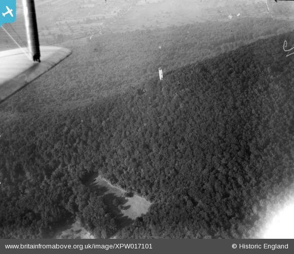
XPW017101 SWITZERLAND (1926). Unlocated, Switzerland, 1926.
© Copyright OpenStreetMap contributors and licensed by the OpenStreetMap Foundation. 2026. Cartography is licensed as CC BY-SA.
Nearby Images (4)
XPW017093

XPW017098

XPW017101

XPW017103

Details
| Title | [XPW017101] Unlocated, Switzerland, 1926. |
| Reference | XPW017101 |
| Date | 1926 |
| Link | |
| Place name | |
| Parish | SWITZERLAND |
| District | |
| Country | SWITZERLAND |
| Easting / Northing | 622674, -5527598 |
| Longitude / Latitude | , |
| National Grid Reference |
Pins

Pcrail |
Monday 13th of October 2025 02:22:49 AM |