
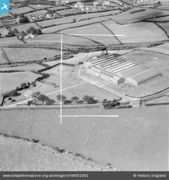
XAW051901 NORTHERN IRELAND (1953). Berkshire Knitting (Ulster) Ltd., Donaghadee Road, Newtonards, Co. Down, Newtonards, Ards, Northern Ireland, 1953. Oblique aerial photograph taken facing North/West. This image was marked by Aerofilms Ltd for photo editing.
© Copyright OpenStreetMap contributors and licensed by the OpenStreetMap Foundation. 2026. Cartography is licensed as CC BY-SA.
Nearby Images (7)
XAW051901
 Ltd., Donaghadee Road,
Newtonards, Co. Down, Newtonards, Ards, Northern Ireland, 1953. Oblique aerial photograph taken facing North/West. This image was marked by Aerofilms Ltd for photo editing.")
XAW051902
 Ltd, Newtonards, Ards, Northern Ireland, 1953. Oblique aerial photograph taken facing North/West. This image was marked by Aerofilms Ltd for photo editing.")
XAW051895
 Ltd., Donaghadee Road,
Newtonards, Co. Down P.3333, Newtonards, Ards, Northern Ireland, 1953. Oblique aerial photograph taken facing North. This image was marked by Aerofilms Ltd for photo editing.")
XAW051900
 Ltd., Donaghadee Road,
Newtonards, Co. Down, Newtonards, Ards, Northern Ireland, 1953. Oblique aerial photograph taken facing North. This image was marked by Aerofilms Ltd for photo editing.")
XAW051897
 Ltd., Donaghadee Road,
Newtonards, Co. Down, Newtonards, Ards, Northern Ireland, 1953. Oblique aerial photograph taken facing North. This image was marked by Aerofilms Ltd for photo editing.")
XAW051898
 Ltd., Donaghadee Road,
Newtonards, Co. Down, Newtonards, Ards, Northern Ireland, 1953. Oblique aerial photograph taken facing North. This image was marked by Aerofilms Ltd for photo editing.")
XAW051899
 Ltd., Donaghadee Road,
Newtonards, Co. Down, Newtonards, Ards, Northern Ireland, 1953. Oblique aerial photograph taken facing North/East. This image was marked by Aerofilms Ltd for photo editing.")
Details
| Title | [XAW051901] Berkshire Knitting (Ulster) Ltd., Donaghadee Road, Newtonards, Co. Down, Newtonards, Ards, Northern Ireland, 1953. Oblique aerial photograph taken facing North/West. This image was marked by Aerofilms Ltd for photo editing. |
| Reference | XAW051901 |
| Date | 30-August-1953 |
| Link | |
| Place name | NEWTONARDS |
| Parish | NORTHERN IRELAND |
| District | |
| Country | NORTHERN IRELAND |
| Easting / Northing | 162593, 528794 |
| Longitude / Latitude | -5.67691, 54.598386 |
| National Grid Reference |
Pins
Be the first to add a comment to this image!