
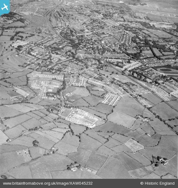
XAW045232 NORTHERN IRELAND (1952). General View, Knock, Castlereagh, Northern Ireland, 1952. Oblique aerial photograph taken facing North/West.
© Copyright OpenStreetMap contributors and licensed by the OpenStreetMap Foundation. 2026. Cartography is licensed as CC BY-SA.
Nearby Images (3)
XAW045232

XAW045227

XAW045230

Details
| Title | [XAW045232] General View, Knock, Castlereagh, Northern Ireland, 1952. Oblique aerial photograph taken facing North/West. |
| Reference | XAW045232 |
| Date | 1952 |
| Link | |
| Place name | KNOCK |
| Parish | NORTHERN IRELAND |
| District | |
| Country | NORTHERN IRELAND |
| Easting / Northing | 151426, 528387 |
| Longitude / Latitude | -5.849029, 54.589372 |
| National Grid Reference |
Pins

Buzby |
Friday 31st of October 2014 01:36:43 PM |