
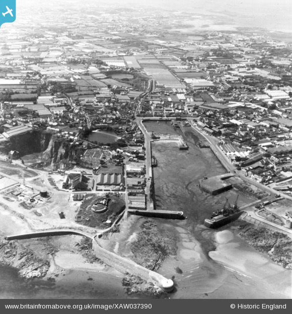
XAW037390 GUERNSEY (1951). Harbour, St Sampsons, Guernsey, Guernsey, 1951. Oblique aerial photograph taken facing West.
© Copyright OpenStreetMap contributors and licensed by the OpenStreetMap Foundation. 2026. Cartography is licensed as CC BY-SA.
Nearby Images (3)
XAW037390

XAW037389

XPW043243

Details
| Title | [XAW037390] Harbour, St Sampsons, Guernsey, Guernsey, 1951. Oblique aerial photograph taken facing West. |
| Reference | XAW037390 |
| Date | 22-June-1951 |
| Link | |
| Place name | ST SAMPSONS |
| Parish | GUERNSEY |
| District | |
| Country | GUERNSEY |
| Easting / Northing | 363064, -46511 |
| Longitude / Latitude | -2.511212, 49.480777 |
| National Grid Reference |
