
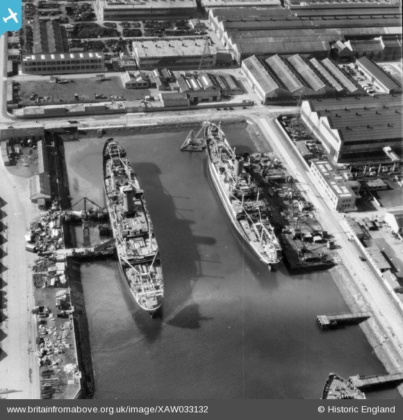
XAW033132 NORTHERN IRELAND (1950). General View, Belfast, Belfast, Northern Ireland, 1950. Oblique aerial photograph taken faxing South/West.
© Copyright OpenStreetMap contributors and licensed by the OpenStreetMap Foundation. 2026. Cartography is licensed as CC BY-SA.
Nearby Images (6)
XAW033132

XPW042467

XPW008412

XAW009553

XPW043365

XPW042463

Details
| Title | [XAW033132] General View, Belfast, Belfast, Northern Ireland, 1950. Oblique aerial photograph taken faxing South/West. |
| Reference | XAW033132 |
| Date | 15-September-1950 |
| Link | |
| Place name | BELFAST |
| Parish | NORTHERN IRELAND |
| District | |
| Country | NORTHERN IRELAND |
| Easting / Northing | 148221, 530646 |
| Longitude / Latitude | -5.900448, 54.608036 |
| National Grid Reference |
Pins
Be the first to add a comment to this image!