
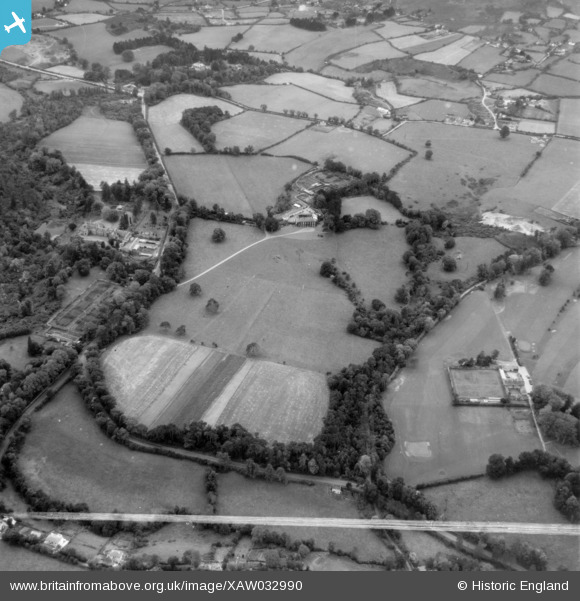
XAW032990 IRELAND (1950). Wingfield, Bray, Wicklow, Ireland, 1950. Oblique aerial photograph taken facing South. This image was marked by Aerofilms Ltd for photo editing.
© Copyright OpenStreetMap contributors and licensed by the OpenStreetMap Foundation. 2026. Cartography is licensed as CC BY-SA.
Nearby Images (3)
XAW032990

XAW032991

XAW032992

Details
| Title | [XAW032990] Wingfield, Bray, Wicklow, Ireland, 1950. Oblique aerial photograph taken facing South. This image was marked by Aerofilms Ltd for photo editing. |
| Reference | XAW032990 |
| Date | 1950 |
| Link | |
| Place name | BRAY |
| Parish | IRELAND |
| District | |
| Country | IRELAND |
| Easting / Northing | 123684, 373111 |
| Longitude / Latitude | -6.137182, 53.183146 |
| National Grid Reference |
Pins
Be the first to add a comment to this image!