
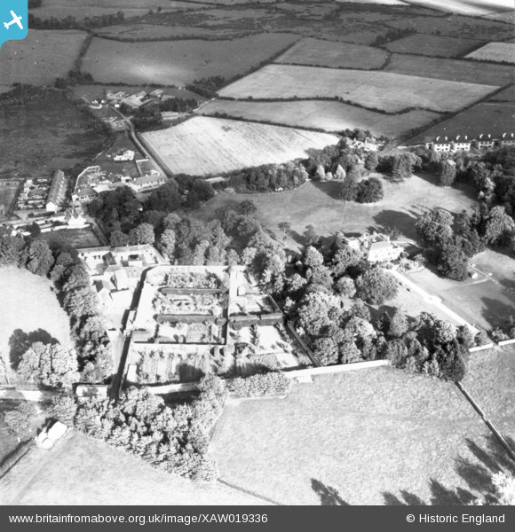
XAW019336 IRELAND (1948). Clonard House, Dundrum, Dublin, Ireland, 1948. Oblique aerial photograph taken facing East.
© Copyright OpenStreetMap contributors and licensed by the OpenStreetMap Foundation. 2026. Cartography is licensed as CC BY-SA.
Nearby Images (5)
XAW019336

XAW019334

XAW019335

XAW019333

XAW019339

Details
| Title | [XAW019336] Clonard House, Dundrum, Dublin, Ireland, 1948. Oblique aerial photograph taken facing East. |
| Reference | XAW019336 |
| Date | 21-September-1948 |
| Link | |
| Place name | DUNDRUM |
| Parish | IRELAND |
| District | |
| Country | IRELAND |
| Easting / Northing | 117954, 383840 |
| Longitude / Latitude | -6.232192, 53.276312 |
| National Grid Reference |
Pins
Be the first to add a comment to this image!